Digital Site Maps: Real-Time Construction Data, Anywhere
Construction doesn’t happen from one desk. Project managers move between jobs. Estimators work from the office. Owners need answers without driving to the site. Field teams need current information while standing in the dirt.
That makes access to accurate site information just as important as collecting it.
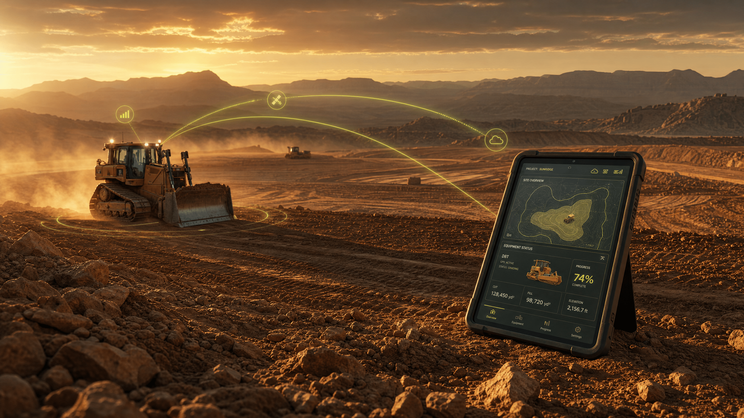
Digital site maps give construction teams a current, visual representation of the jobsite that can be accessed from virtually anywhere. Instead of relying on outdated plans, scattered files, or another trip to the field, teams can use digital maps to understand existing conditions, measure the site, evaluate progress, and make better decisions using the same source of information.
At Leteligence, we believe better construction decisions start with better visibility. When accurate geospatial data is turned into practical site intelligence, the jobsite doesn’t have to be right in front of you to understand what’s happening.
What Are Digital Site Maps?
Digital site maps turn collected jobsite data into an accessible view of actual site conditions. Using technologies such as drone mapping and LiDAR, contractors can create detailed 2D and 3D maps that provide far more information than a conventional static drawing.
The principle isn’t unique to construction. Google Maps, Google Earth, GIS, and other location mapping technologies have changed how people interact with geographic information. Construction teams can apply the same fundamental idea to their own jobsites: make complex spatial information easier to see, access, and use.
A geographical information system, commonly called a geographic information system (GIS), organizes and displays geospatial data according to location. Modern construction mapping applies similar concepts at the project level, giving teams an accurate digital representation of the ground they’re actually working.
Instead of asking, “What did the site look like the last time someone surveyed it?” teams can start asking, “What does it look like now?”
Remote Access Changes the Construction Workflow
Construction plans have traditionally been tied to physical documents, downloaded files, or information held by individual team members. That creates friction whenever somebody away from the site needs an answer.
Digital mapping helps remove that friction.
With remote access to current site information, a project manager can review conditions without leaving another job. An estimator can reference measurements from the office. Leadership can understand progress without relying solely on a written update.
Think of the difference between a collection of individual web pages and a well-organized website structure. The information may technically exist in both cases, but organization determines how quickly someone can find and use it.
The same is true on a jobsite.
The value isn’t simply collecting more data. It’s creating a better user experience for the people who need to turn that data into decisions.
Interactive Maps Make Site Data Useful
A static map tells you what someone chose to put on the page. Interactive maps allow users to explore information based on what they need to know.
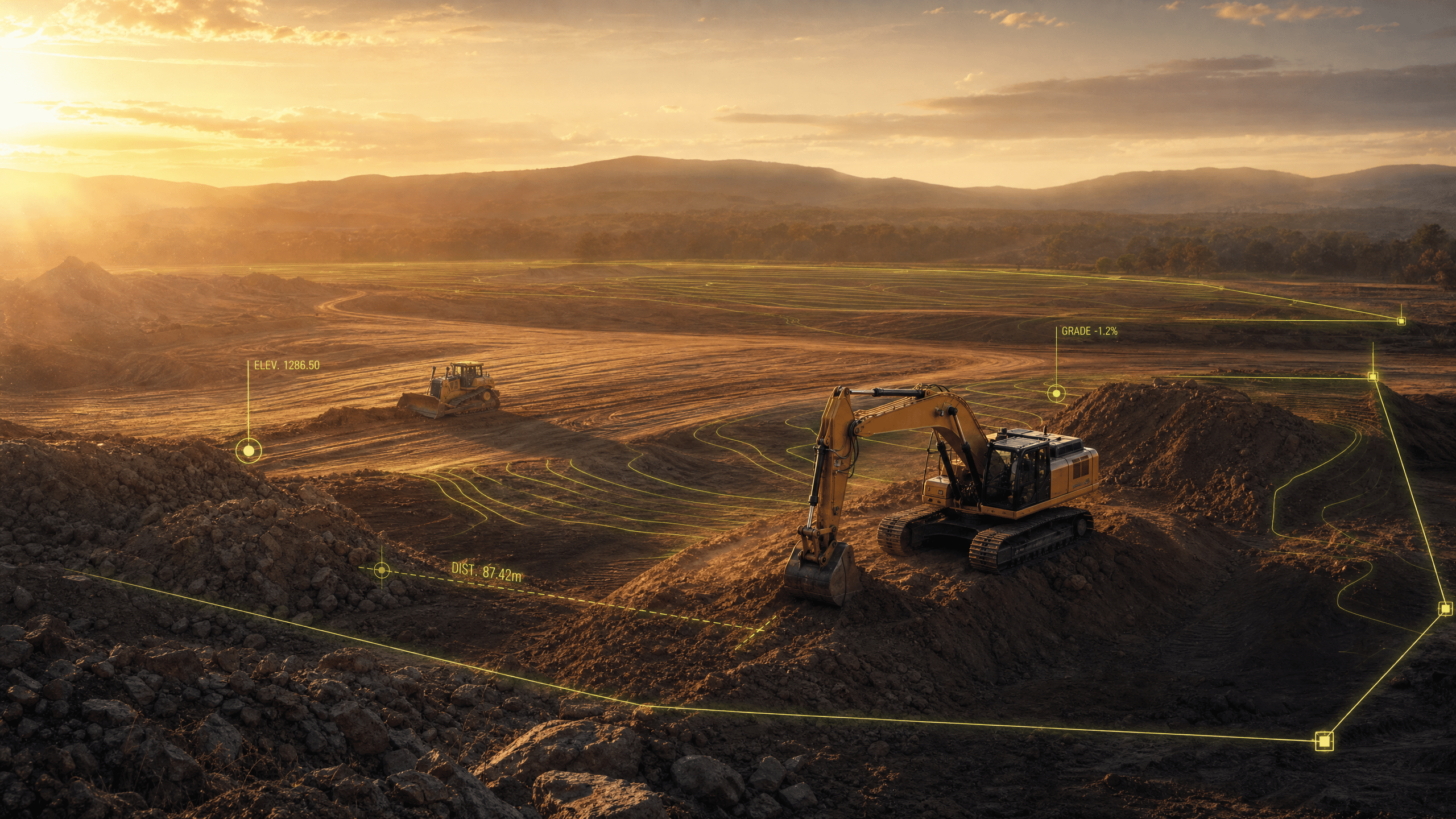
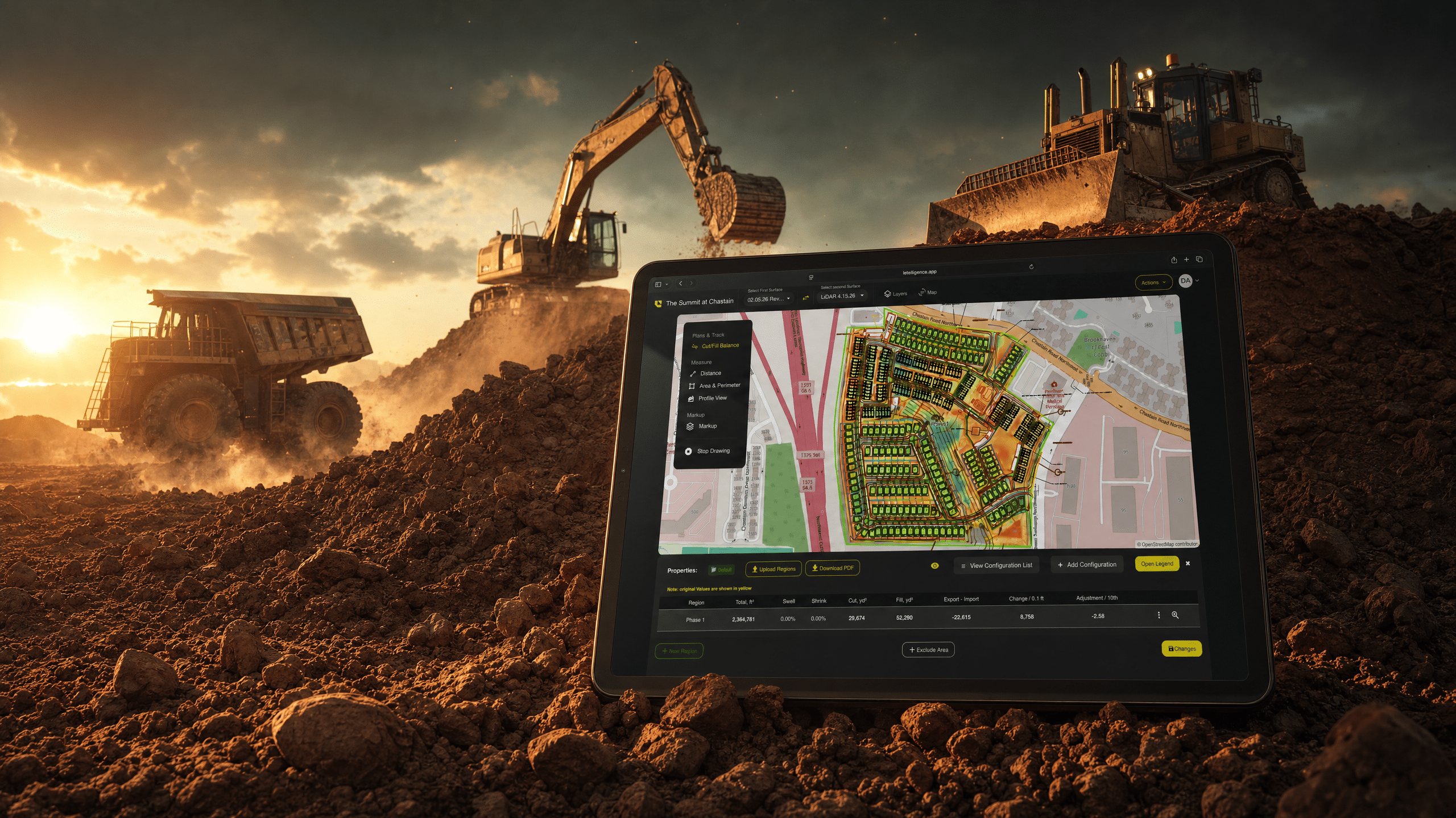
An interactive map can help construction professionals investigate specific areas of a project rather than digging through separate reports. Depending on the available data and platform capabilities, teams can evaluate measurements, elevations, areas, distances, quantities, and other site conditions from one digital environment.
That’s particularly valuable for earthwork.
A superintendent may care about current elevations. An estimator may need quantities. A project manager may want to understand progress. The underlying site may be the same, but each person has a different information user flow.
Digital mapping makes it possible to create those practical user flows around one shared picture of the project.
From Raw Geospatial Data to Construction Intelligence
Digital site mapping starts with accurate data collection, but raw data isn’t the finished product.
Mapping information can exist in formats such as KML, GeoJSON, and a shapefile or collection of shapefiles. Other workflows may involve XML, imagery such as PNG files, or data compatible with broader geographic information systems.
Those formats matter to software. Contractors care about what the information tells them.
That’s where Leteligence is different.
We focus on translating site data into information construction professionals can actually put to work. The goal isn’t to hand a dirt contractor another complicated dataset. It’s to help them understand the site and make the next decision with confidence.
3D Mapping Adds Context You Can’t Get From a Flat Plan
Construction sites aren’t flat, so understanding them shouldn’t be limited to flat information.
3D mapping can provide a much more intuitive understanding of terrain and site conditions. Detailed 3D maps allow teams to visualize highs, lows, slopes, stockpiles, grades, and other physical features that can be difficult to interpret from conventional plans alone.
That visual context can support decisions around earthmoving, grading, material management, and progress.
And as technologies such as augmented reality and virtual tours continue changing how people interact with digital environments, the broader direction is clear: information becomes more useful when people can experience it spatially rather than interpreting disconnected numbers.
For contractors, that means making the site easier to understand before making a move in the field.
Better Visualization Supports Better Planning
There is an interesting parallel between construction planning and web design.
During the design process for a website, teams might create a wireframe or multiple wireframes before development begins. A visual sitemap or multiple visual sitemaps can show how information connects before the final product exists.
Construction teams also benefit from seeing relationships before committing resources.
A clear visual representation of site conditions can expose information that isn’t immediately obvious in spreadsheets or reports. Multiple visual representations can help different stakeholders understand the same project from different perspectives.
Good web design makes digital information easier to navigate. Good site visualization makes physical information easier to act on.
Different industries. Same fundamental principle: make complexity visible.
One Site, Accessible From Anywhere
Remote access becomes especially powerful when everyone is working from the same current information.
Rather than sending screenshots, searching through email attachments, or trying to describe field conditions over the phone, teams can reference a shared digital picture of the job.
That can improve communication between:
Field crews and office personnel
Project managers and estimators
Contractors and owners
Operations and leadership
Teams managing multiple projects or locations
Accurate location maps can also reduce ambiguity about exactly where an issue, measurement, or feature exists. For organizations managing many properties, strong address validation and accurate location information help ensure data remains connected to the correct physical site.
The result is simple: fewer questions about what everyone is looking at and more time deciding what to do about it.
Digital Site Maps Aren’t Website Sitemaps
The phrase “digital site maps” can create some confusion online because SEO professionals use similar terminology.
In SEO and web design, an XML sitemap helps search engines understand the pages available on a website. XML sitemaps are commonly generated by platforms such as WordPress so a search engine can discover and index a site’s content. Those XML sitemaps describe digital content—not physical terrain.
Construction digital site maps serve a completely different purpose.
Instead of helping search engines navigate a website, construction site maps help people navigate information about a real-world project.
That distinction matters when contractors search for mapping technology. What you’re looking for isn’t an SEO tool or a WordPress plugin. You’re looking for accurate digital mapping of the physical site.
Real-Time Data Means Decisions Don’t Have to Wait
The real advantage of modern site intelligence isn’t having another map.
It’s reducing the distance between what’s happening in the field and the people responsible for making decisions about it.
When teams have remote access to current project information, they can answer questions faster, identify potential issues sooner, and spend less time waiting for somebody else to collect or interpret information.
That means better visibility from the office.
Better context in the field.
And better decisions wherever the job takes you.
Leteligence combines modern data collection with construction-focused tools that turn jobsite information into practical intelligence for the people moving dirt every day.
Your site is in the field. Your data doesn’t have to be.
Ready to see what your jobsite looks like when the information goes wherever you do? Book a Leteligence demo or connect with a Leteligence expert to explore digital site mapping, remote project access, and the tools available for your earthwork workflow.