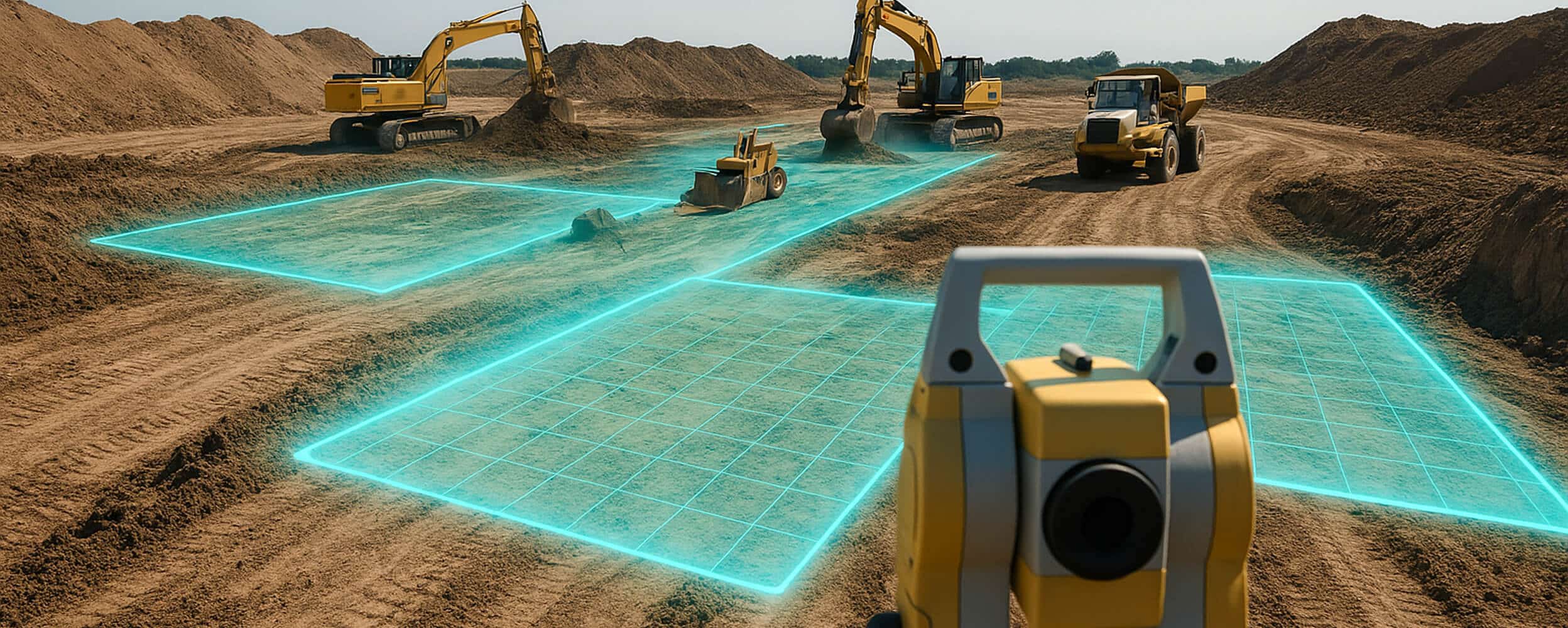
Precision Data Makes the Difference
Mining success starts with accurate, real-time site data. Whether you're managing overburden, tracking material movement, or calculating volumes, LETELIGENCE delivers the insights you need—when and where you need them.
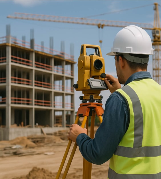
Leteligence for Surveying
Traditional surveying methods are time-consuming and resource-intensive, often requiring repeat visits. The old way—waiting on data processing, relying on outdated field reports, or dealing with cumbersome CAD workflows—slows progress. LETELIGENCE changes that.
Our intuitive platform provides instant, field-ready measurements so you can reduce site visits, increase efficiency, and deliver results faster—without compromising accuracy.

See the App in Action
Discover how LETELIGENCE unleashes your construction site data to avoid costly wait times.
Key Features
LETELIGENCE is built for surveyors who want the power of better data at their fingertips.
Elevation
Cut/fill
Linear Footage
Area
Shrink & Swell Adjustment
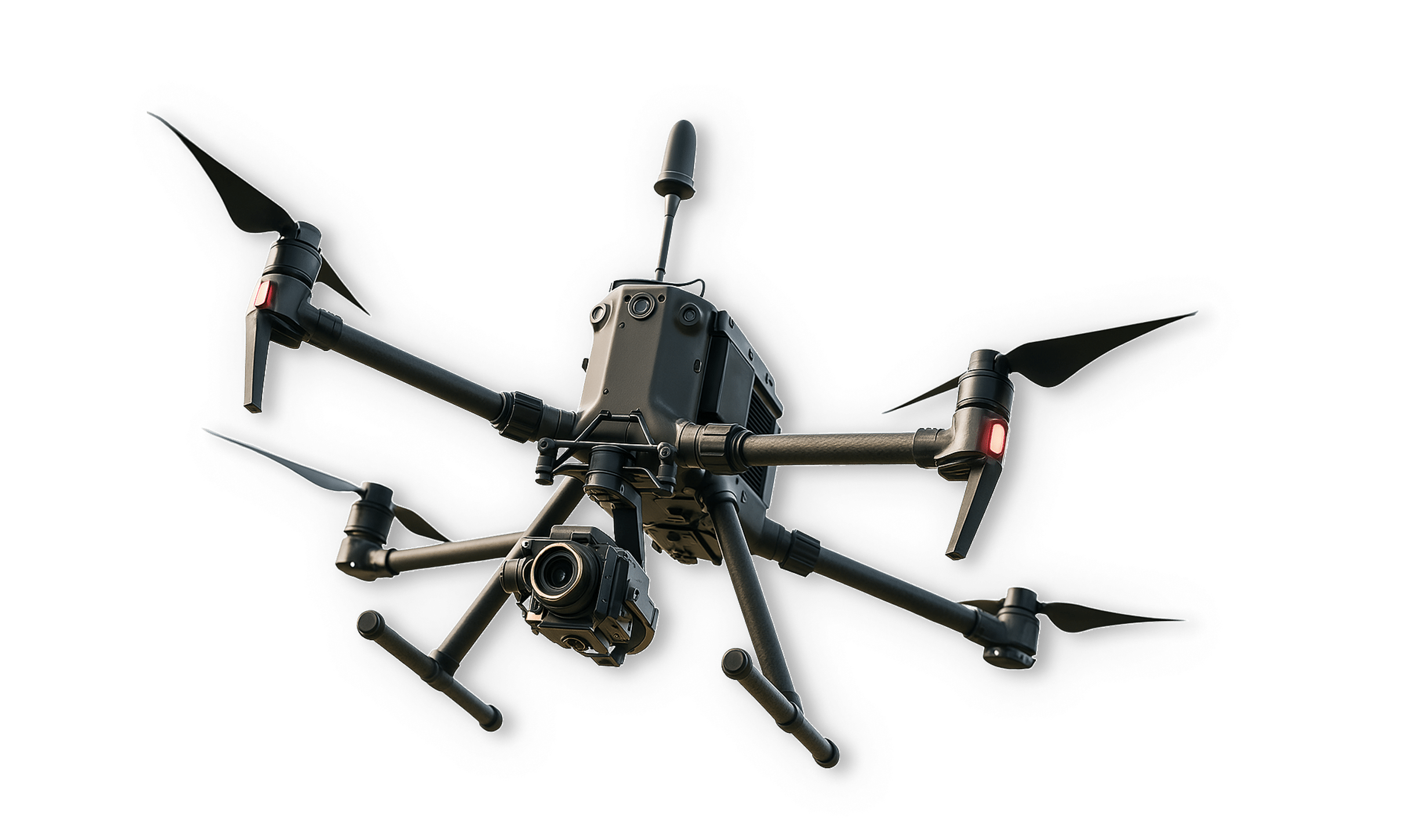
Need Aerial Site Data?
Letel’s state-of-the-art drone surveying services capture high-resolution, field-verified site data that feeds directly into LETELIGENCE. Get the most accurate, up-to-date insights without waiting on traditional survey methods.
Learn MoreIt’s Time for a Demo
Stop waiting. See how LETELIGENCE delivers clarity, control, and confidence for surveyors like you.