Development Runs on Data
Successful developments start with the right information—site data you can trust when you need it most. Whether you’re evaluating raw land, calculating earthwork volumes, or tracking project progress, LETELIGENCE delivers real-time, field-ready insights that keep your projects moving forward.
See the App in Action
Discover how LETELIGENCE transforms your dirt data into development power.Leteligence for Land Developers
In land development, bad data leads to blown budgets, unexpected delays, and costly rework. LETELIGENCE puts real-time, high-accuracy site data in your hands—so you can plan with confidence, keep projects moving, and avoid expensive surprises before they happen.

Key Features
LETELIGENCE is built for land developers who are tired of the daylong waits for data.
Elevation
Cut/fill
Linear Footage
Area
Shrink & Swell Adjustment

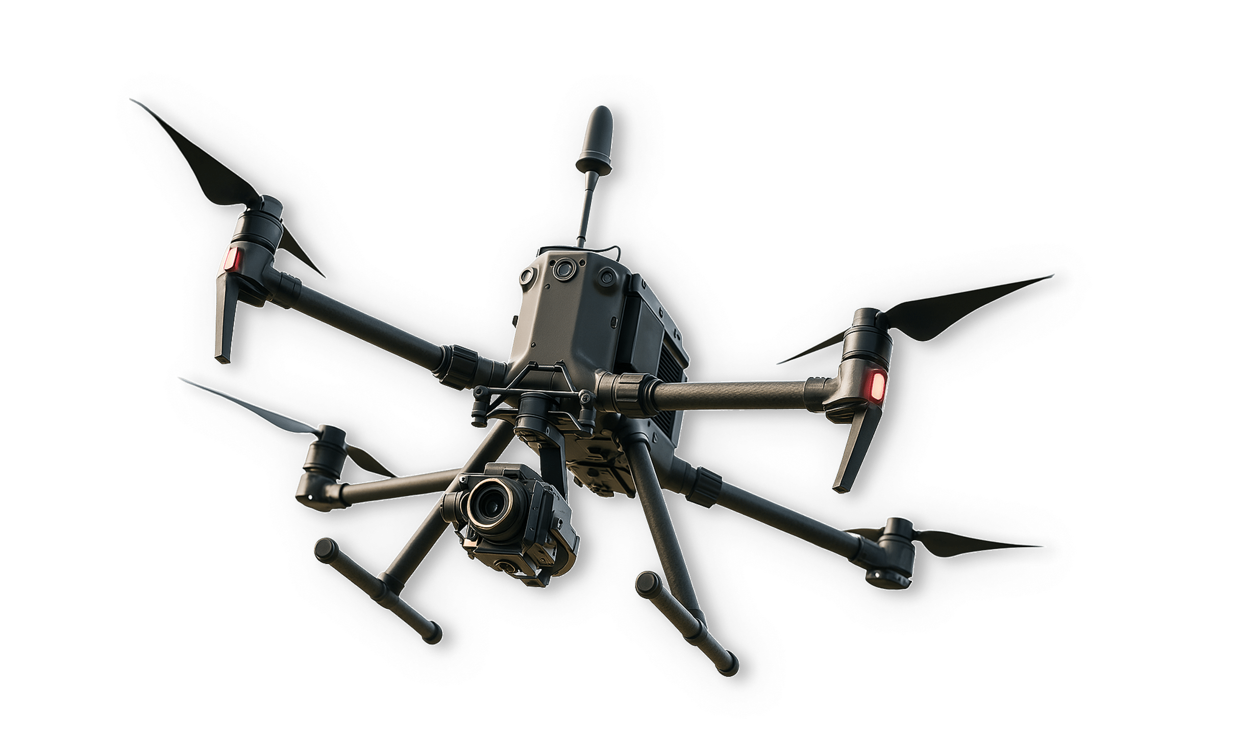
Need Aerial Site Data?
Letel’s state-of-the-art drone surveying services capture high-resolution, field-verified site data that feeds directly into LETELIGENCE. Get the most accurate, up-to-date insights without waiting on traditional survey methods.
Learn MoreIt’s Time for a Demo
Stop waiting on outdated methods. See how LETELIGENCE delivers clarity, control, and confidence for land developers like you.