;)
;)
;)
;)
;)
;)
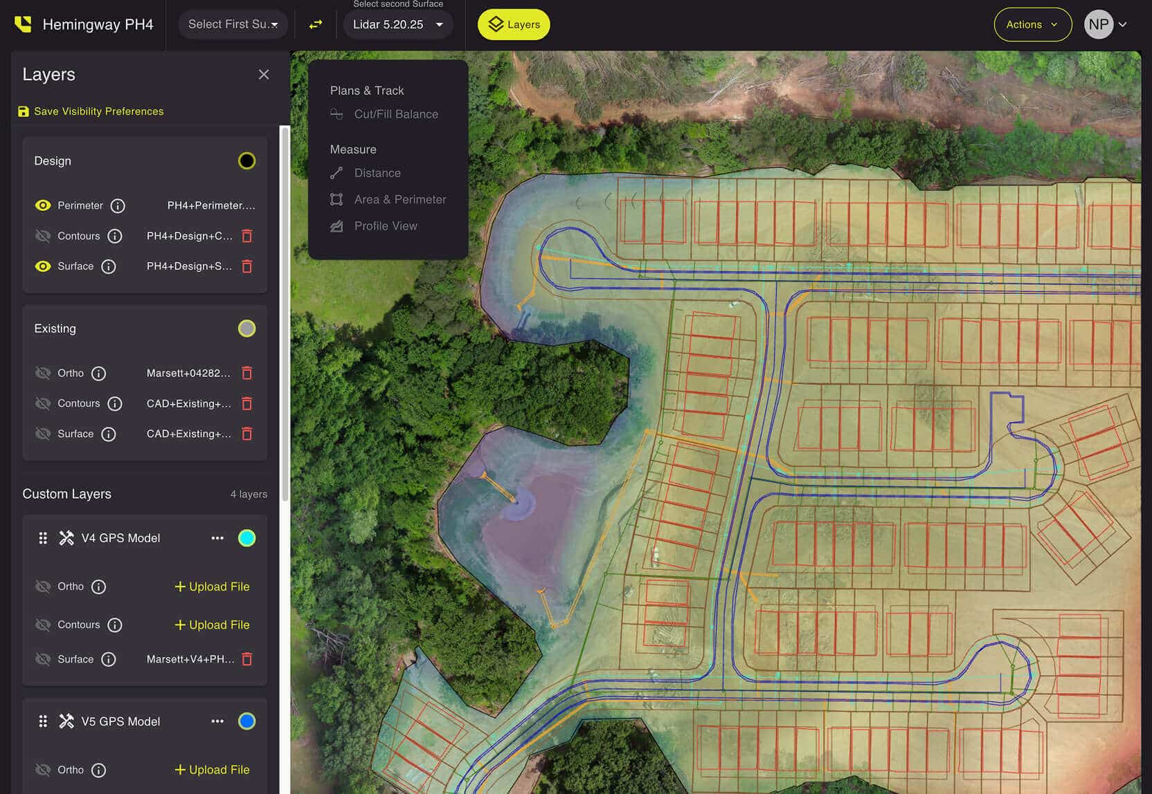
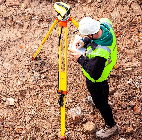
Features Fit for the Field
Using drone-captured data and field-ready tools, LETELIGENCE helps you transform raw site data into actionable results—right where you stand.
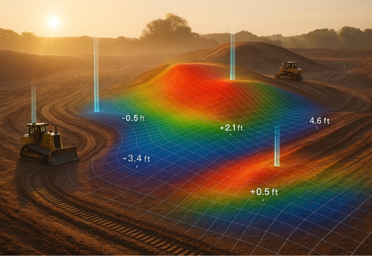
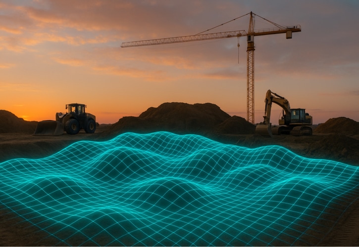
Elevation
Get precise elevation mapping with drone data to plan, grade, and execute your earthwork projects with confidence.
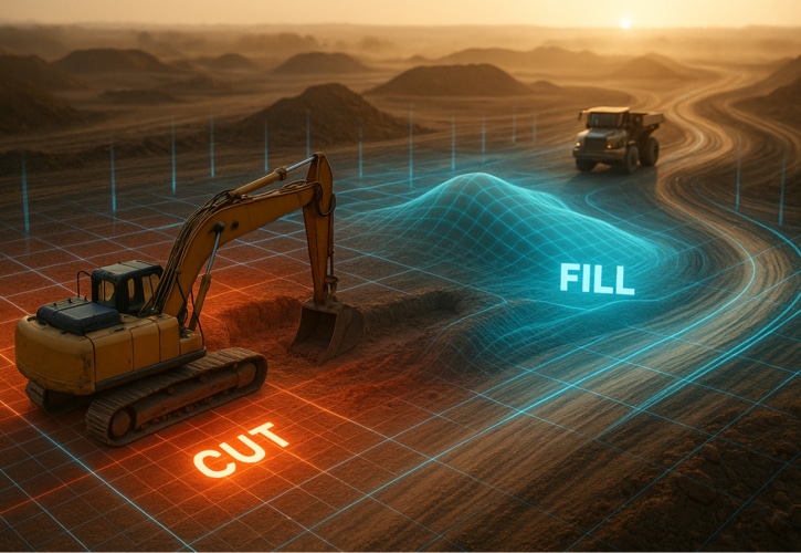
Cut/fill
Instantly calculate material volumes to optimize site balancing and reduce costly overages.
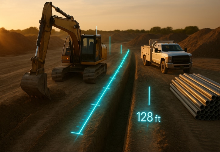
Linear Footage
Quickly measure distances for trenching, utilities, and foundation work without the guesswork.
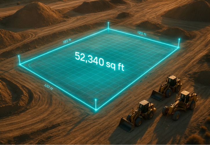
Area
Map out accurate site boundaries and surface areas to streamline planning and material estimates.
Shrink & Swell Adjustment
Immediately account for soil movement with automatic shrink and swell calculations, ensuring accuracy throughout your project.
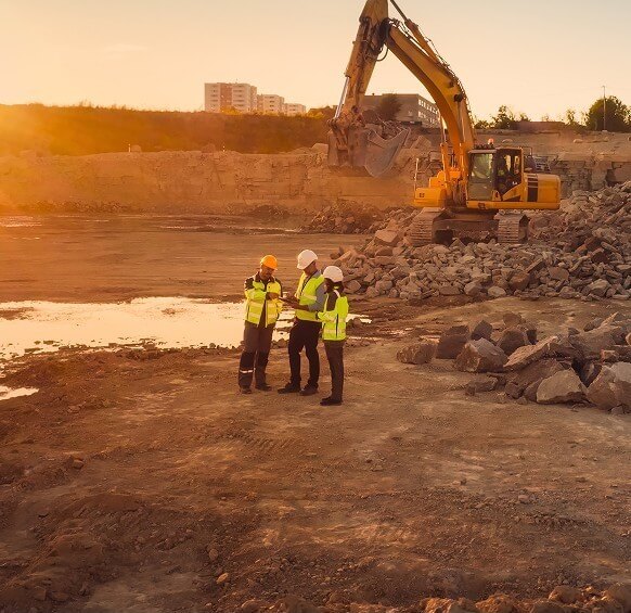
Impacting Your Industry
Every earthmoving industry is experiencing the LETELIGENCE workflow revolution.
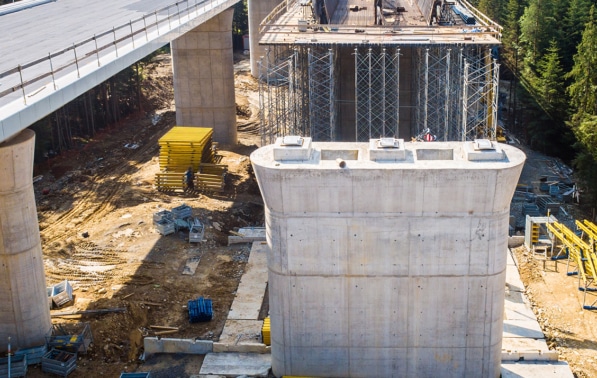
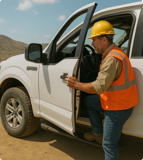
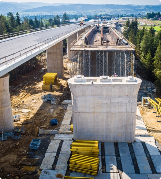
Construction
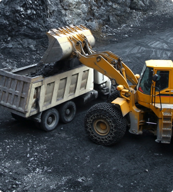
Mining
Waste Management
Maximize landfill space and stay compliant with accurate topographic surveys and fill tracking.
Learn More

Civil Engineering


Solutions for Every Jobsite
LETELIGENCE cuts through the clutter with powerful, no-nonsense tools built for earthwork, surveying, and construction progress tracking. Stop juggling a dozen programs—get the app that delivers everything you need, right where you need it.


Experience the Future of Earthwork
For questions or a personalized demo, we’re here to help.